Sydney Buses
Visitor's guide and maps for riding the Sydney Bus System

The majority of attractions featured in our site are within a short walk of a Sydney Train or Light Rail Station. In some cases however, the walking distance can be shortened by hopping on a Sydney Bus. Also, a few of the attractions we feature are more easily reached by bus.
Sydney boasts an extensive bus network and the service on most routes is very frequent. Buses get around the city very efficiently, in many cases with the help of dedicated bus lanes where they can bypass the congestion.
Route 333 Bondi Link is Great for Visitors
Of all the bus routes in Sydney, Route 333 Bondi Link deserves special mention, especially for visitors.
They call this the "Turn Up and Go" bus route as it operates 24/7 and runs every 3 minutes between 5:45am and 10:45pm daily including weekends.
Route 333 operates from the major transportation hub at Circular Quay, through the Central Business District on Elizabeth Street, southeast past Centennial Park, then east to Bondi Beach and North Bondi. In the CDB it provides good access to Hyde Park, Hyde Park Barracks, Sydney Tower, and The Australian Museum.
Fares
You can enjoy unlimited rides on Sydney Buses along with trains, ferries and light rail for a capped daily or weekly rate by paying with an OPAL card. For a guide to public transport fares in Sydney see our page on Fares.
It should be noted that most of the bus stops in Central Sydney are PrePay stops meaning you have to purchase a fare, have the appropriate value loaded on an OPAL card, or have a contactless payment card prior to boarding. For information on where to pre-purchase your bus tickets see our page on fares.
You can read more about Sydney Buses and find a trip planner on the official website: Sydney Bus Info
You will also find information on what bus to catch and where in the "Getting There" section of any attractions we feature that require transportation by bus.
Sydney Bus Maps
The following 2 Sydney Bus Maps will cover the needs of most visitors:
Map of Sydney Buses around Eastern Suburbs including Bondi
Map of Sydney Buses around the Northern Beaches
Map Credit: Transport NSW Open Data (CC BY 4.0)
More Info for Getting Around Sydney on Public Transportation
- Fares
- Light Rail
- Trains
- Sydney Ferries
- Buses
- Airport Transportation
- Real Time Transit Alerts
- Transit Tips
Photos
-
Photo Credit: Stilgherrian - cc license via Flickr -
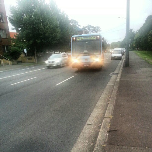
Photo Credit: Stilgherrian - cc license via Flickr -
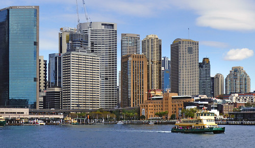
Photo Credit: Bernard Spragg - cc license via Flickr -
Photo Credit: Stilgherrian - cc license via Flickr -
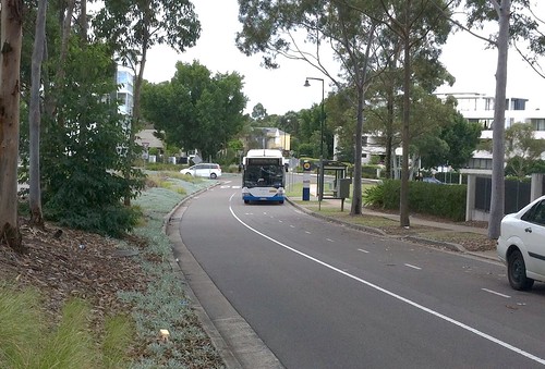
Photo Credit: Simon_sees - cc license via Flickr -

Photo Credit: Simon_sees - cc license via Flickr


