Toronto Greenspace Walking Tour
This 10.6 Kilometer self-guided walking tour will take you through some of Toronto's beautiful greenspace, parks and ravines

This walking tour highlights some of Toronto's beautiful natural greenspace and offers a great way to enjoy a break from the noise and congestion of the city.
The walk follows a series of trails for just over 10 kilometres passing through parks, forests, meadows and ravines and along the Don River Valley. We have also included an alternate route that will enable you to enjoy a much shorter portion of the walk and connect with a bus to get back to the subway. The branch for the shorter route is shown in red on the map below. This walk can be done in either direction.
The directions are from Victoria Park Station on the Bloor-Danforth Subway Line. To start from Broadview and Langley Avenue follow all the directions in reverse. You should allow a total of about 2½ hours for this walk not including time on transit.
To see the complete step-by-step directions and a map just click on the Map & Directions Tab at the top of this page.
Directions
| TTC Subway Line | Nearest Station | Walking Time |
|---|---|---|
| Bloor-Danforth | Victoria Park or Broadview Station | 0 Minutes |
How to get to Toronto Greenspace Walking Tour by TTC Subway
From Victoria Park Station exit via the walkway heading east out of the station and follow the directions above.
From Broadview Station catch a 504 or 505 Streetcar going south on Broadview and exit on Broadview Avenue at Langley Avenue. From there follow the above directions in reverse.
In either case be sure to refer closely to the map. If you are taking the shorter route in either direction you can catch bus # 70 southbound on Coxwell Road to Coxwell Station on the Bloor-Danforth Subway line for your return trip.
- Make your way to Victoria Park Station on the Bloor-Danforth line and exit down the ramp to the west and continue west along the pathway keeping the highrise buildings on your right and Dentonia Athletic Park to your left. When the path meets a road go to your right. Follow this road (Goodwood Park Ct) to Dawes Road and go right (north)
- Walk up Dawes road until you see the entrance to Taylor Creek Park on your left and walk into the park. Continue to the trail entrance with is just past the car parking.
- The walk continues along Taylor Creek trail and you should ignore any branches off of the main trail continuing in a generally westerly direction.
- Only if you plan to do the shorter walk, take the first branch off the trail to your left after you pass beneath O'Conner Drive overpass. If you get to the parking lot just before the Don Valley Parkway you have missed the turnoff by about 200 metres.
- If you are doing the full walk continue to follow the trail as it passes beneath two roadways. The trail turns south under the second one and becomes the Lower Don Recreation Trail.
- Continue on the trail as it meanders both south and west through the Don River Valley. The Don River will be on your right. When the trail crosses Pottery Road just pick it up on the other side. It is clearly marked. If you are up to a little side trip here just head south on Pottery Road beneath the Don Valley Parkway and visit the Todmorden Mills Heritage Site and Arts Centre before picking up the trail again.
- You are getting close to the end of this walk when you cross through a culvert under the train tracks. Just continue a little farther south and the trail crosses the Don River on a foot bridge. Shortly after that you pass under a pedestrian overpass. Take the stairs on your right up to the overpass and walk back over the river and the Don Valley Parkway. Continue east along the path on the other side to Broadview Avenue. The stop for the 504 or 505 Streetcar northbound to Broadview Station is right across the road. This concludes our Toronto Greenspace Walking Tour.
Photo Gallery
-

Tree lined pathway through Taylor Creek Park provides a pleasant escape from the bustling city cc licensed photo by Loozrboy -
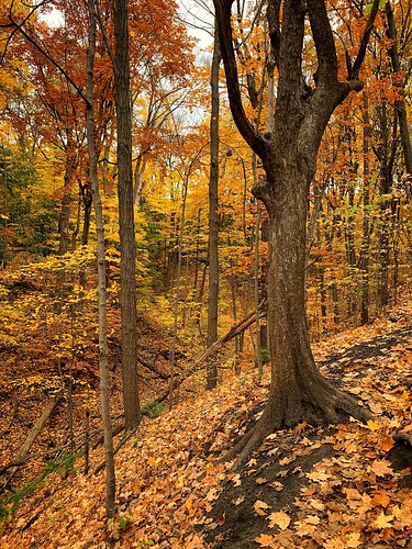
Photo Credit: vlitvinov - cc license via Flickr -
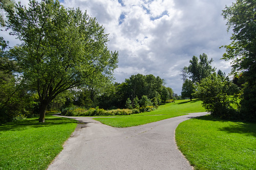
Photo Credit: Arbron - cc license via Flickr -
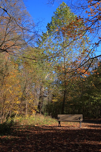
Photo Credit: vlitvinov - cc license via Flickr -
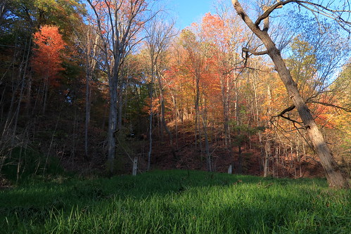
Photo Credit: vlitvinov - cc license via Flickr -
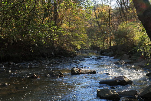
Photo Credit: vlitvinov - cc license via Flickr -
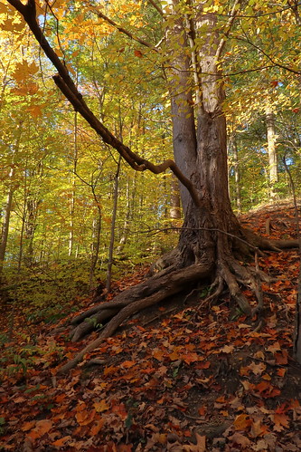
Photo Credit: vlitvinov - cc license via Flickr -
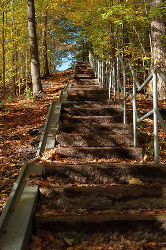
Photo Credit: vlitvinov - cc license via Flickr -
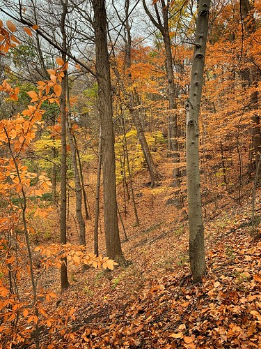
Photo Credit: vlitvinov - cc license via Flickr -
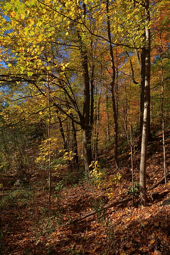
Photo Credit: vlitvinov - cc license via Flickr -
Photo Credit: vlitvinov - cc license via Flickr


