Paris RER Train (Regional Express Network)
Visitor map and guide to the RER Train Network in Paris

The RER, which stands for Réseau Express Régional or Regional Express Network in English, operates a series of five regional commuter rail lines providing express service that branches well out into the suburbs of Paris. In the centre of Paris the RER runs underground like the Metro and stops in all RER stations. Farther out into the suburbs it provides service along surface rail lines. Since the stations are farther apart and the trains are faster, the RER is a good choice for covering a larger distance.
The RER is comprised of 5 main lines designated by the letters A, B ,C, D and E and serves 246 stations on a total of 587 kilometres of track. Farther out from the city centre there are numerous locations where the RER lines split into branches which are indicated by a letter and number; ie; A1, A2, A3 etc. The portions of track travelling through the city centre are underground and several major stations are shared with the Metro making it easy to connect between the two services.
The most popular use of the RER for tourists is for travel to and from Euro Disney (line A ) and travel to or from Charles de Gaule Airport or Orly Airport (line B).
Most RER lines branch off to multiple destinations as they head into the suburbs, so be sure you board a train that is going along the correct branch for your destination. Trains are signed according to the last station they are travelling to, so you simply need to make sure the station you are going to is the same as, or located along the branch that leads to that station. If you are disembarking at a station prior to the point where the line branches, you can take any train on that line.
When you get to a station enter through gates or turnstiles with the lighted green arrows. The ones with the red circles are just for exiting.
As is the case on the Metro, the doors on the RER trains do not open automatically. You must activate them by simply pushing the button located between the set of doors, unless of course, someone ahead of you has already done so.
There are maps located above the doors inside all trains that show you the stations along the route. Some of these signs actively show you your position along the route by means of lights on the station. The lights representing each station on the sign will remain lit until the train has passed the station. The light for the upcoming station flashes on and off. See the picture below for an example
When you exit the train there may be numerous exits leading out of the station, some of which can be up to a 10 minute walk. Stations have a large map showing the various exits, so stop by and get your bearings to ensure you take the best exit for your needs.
Download this helpful printable PDF Transport Guide for visitors to Paris: Simple Guide to using Paris Public Transport
The RER is operated jointly by both the RATP (Régie Autonome des Transports Parisiens) and the SNCF (National Society of French Railways) More information and maps for the RER can be found at the official RATP Tourist Portal.
Paris RER Map
Map and logo are property of RATP and provided with their permission.
Download a printable pdf Paris RER Map
More Info for Getting Around Paris on Public Transportation
- Fares
- Metro
- RER
- Buses and Trams
- Batobus (River Transport)
- Regional Trains (SNCF)
- Velib Bikes
- Airport Transportation
- Transit Tips
Photos
-

Sign indicating an RER Station the serves line B and C as well as line 10 on the Metro cc licensed photo by waitscm -
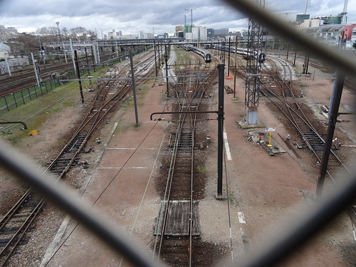
Photo Credit: Jeanne Menjoulet - cc license via Flickr -
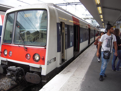
Photo Credit: marsupilami92 - cc license via Flickr -
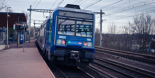
Photo Credit: Z-tec - cc license via Flickr -
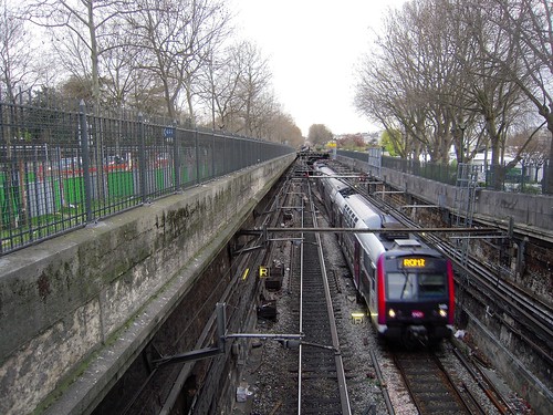
Photo Credit: marsupilami92 - cc license via Flickr -
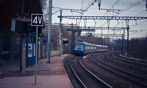
Photo Credit: Z-tec - cc license via Flickr -
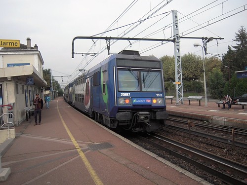
Photo Credit: marsupilami92 - cc license via Flickr
Video
Please provide consent and/or disable ad blocker to view the video.


