Paris Metro Map and Travel Guide
Getting around Paris on the Metro

The Paris Metropolitan Railway, commonly referred to as the Metro, is an extensive subway system — the foundation of Paris's public transportion system. Frequent trains, easy connections and many stations will help you get around the city quickly and easily. Continue reading for information and tips on using the Paris Metro.
The Paris Metro is one of the world's oldest and largest subway systems, with over 375 stations on a total of 16 lines which are designated by numbers 1 through 14 plus 3bis and 7bis. Although the lines are designated by numbers, the trains are normally referred to by the name of the station at the end of the line.
The Metro is closely tied into the RER high-speed train system and the two systems are connected at numerous stations. The RER lines are indicated by letters rather than numbers. Metro trains make all stops, while the RER only makes limited stops and the trains continue well out into the suburbs. With such an extensive system, you are rarely more than a 10 minute walk from a station.
Some sections of the Metro are elevated above ground providing riders with some nice views of Paris. You will find these elevated portions on lines 2, 5, and 6. There are a total of 18 stations located on the elevated sections. These lines offer a great way to enjoy some inexpensive sightseeing in Paris!
Service Frequency and Hours
Service begins each day at about 5:30 am and continues until just past midnight. Actually the last trains heading into the city centre leave their terminus around 12:15 am and about one hour later on Friday and Saturday nights.
Train times are displayed on scrolling electronic signs located over the platforms. The times are of little concern though; trains run every 2 to 3 minutes during the peak periods and every 5 to 10 minutes during off peak hours, so the wait is never long.
When travelling early in the morning or late at night it is important to know when the first or last trains leave the station. These times are clearly indicated on signs located inside each station.
All lines get busier during rush hour, however the most congested lines during peak hours are the 1,4, and 13 line. You may want to plan your travel during off peak hours for a more comfortable trip, especially on the busiest lines.
Stations
Entrances to the Paris Metro are signed with either the letter "M" or with a decorative Art Nouveau "METROPOLITAIN" sign. Exit signs inside stations are blue with the word "sortie". Signs for transfer points to other lines are orange and read "correspondance". Transfers are free providing you do not leave the station, however if you plan to reverse direction you may, in some cases, have to leave the station and return via a different entrance.
Proceedures for Fares and Tickets
Single trip tickets and passes for the Metro can also be used on the RER, but not on buses. You load tickets on a Navigo Easy Card or on the Bonjour RATP app. Navigo Fare Cards can be purchased from the automated ticket vending machines at the stations.
The ticket vending machines are multilingual, but do not offer a choice in language until you click yes on the Acheter des tickets, coupons option.
For more information on how and where to purchase fares and the different fare options visit our page on Fares.
When boarding Metro trains the doors do not open automatically. Depending on the train, you either flip a small latch or push a button on the doors to open them. This is also shown in the video below.
Recommended Resources
Download this helpful printable PDF Transport Guide for visitors to Paris: Simple Guide to using Paris Public Transport
The Paris Metro is operated by the RATP (Régie Autonome des Transports Parisiens). You can also find more information, maps and schedules for the Paris Metropolitain on the official RATP website.
UrbanRail.net provides an excellent overview of the Paris Metro system along with many superb photographs of both the street level entrance and the lower level of many metro stations throughout the city.
Paris Metro Map
Map and logo are property of RATP and provided with their permission.
Download a printable map of the Paris Metro
Interactive Metro Map with Streets and Attractions
Open an Interactive Paris Metro Map with Streets. Find the next departure near you with our Click&Go Map and Route Finder.
More Info for Getting Around Paris on Public Transportation
- Fares
- Metro
- RER
- Buses and Trams
- Batobus (River Transport)
- Regional Trains (SNCF)
- Velib Bikes
- Airport Transportation
- Transit Tips
Photos
-

Inside a Paris Metro Station cc licensed photo by Omar Omar -

Signage and ticket vending machines inside a Paris Metro Station cc licensed photo by Chris Samson -

Paris Metro Line 8 offers some nice views cc licensed photo by Juan Enrique Gilardi -
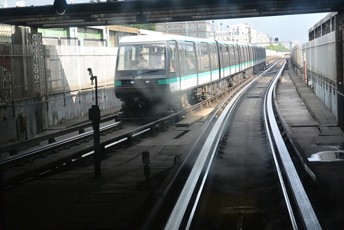
Photo Credit: flightlog - cc license via Flickr -
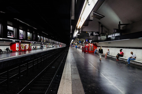
Photo Credit: MeisterGor - cc license via Flickr -
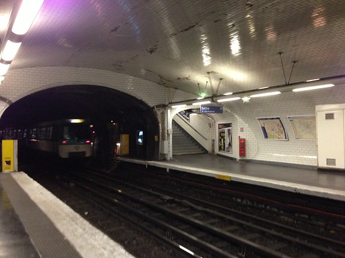
Photo Credit: flightlog - cc license via Flickr -
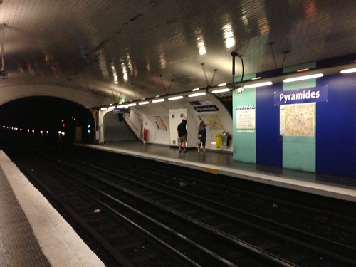
Photo Credit: flightlog - cc license via Flickr -
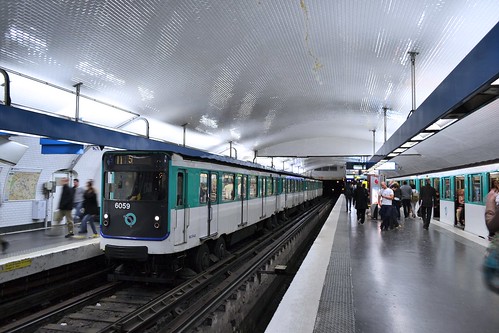
Photo Credit: Juan Enrique Gilardi - cc license via Flickr -

Photo Credit: Dai Lygad - cc license via Flickr -
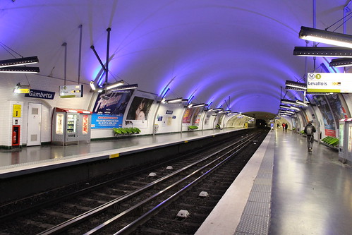
Photo Credit: corno.fulgur75 - cc license via Flickr -
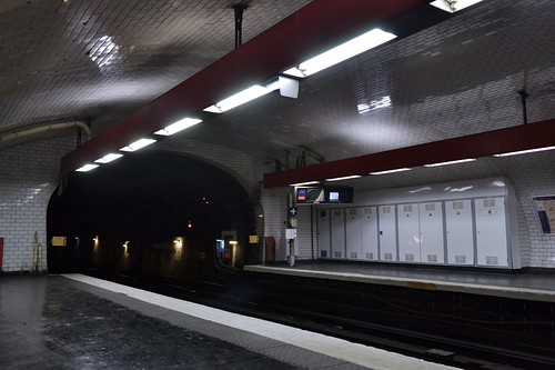
Photo Credit: Juan Enrique Gilardi - cc license via Flickr -
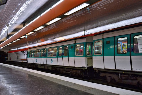
Photo Credit: Juan Enrique Gilardi - cc license via Flickr -
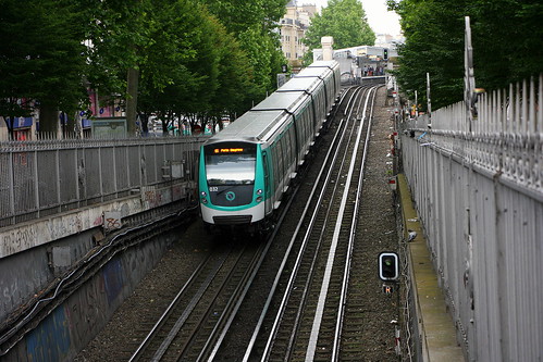
Photo Credit: hemkes - cc license via Flickr
Video
Please provide consent and/or disable ad blocker to view the video.


